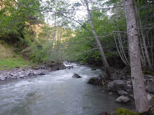
Streamflows
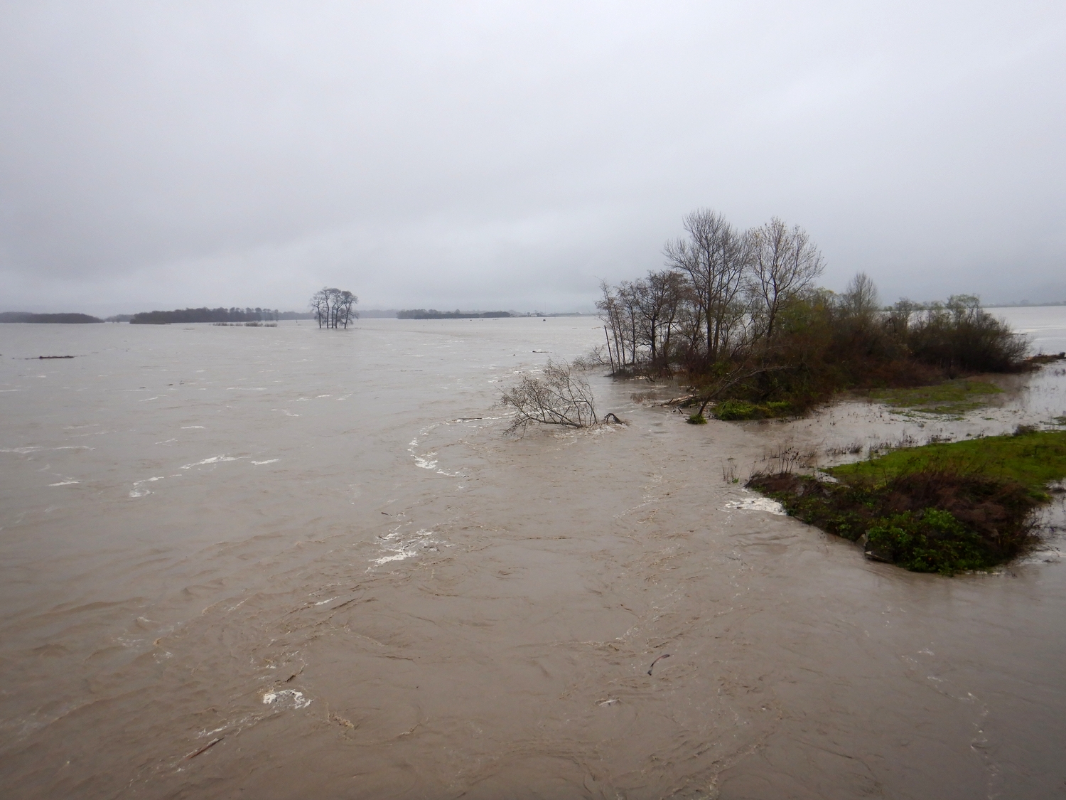
Eel River watershed hydrology is profoundly disturbed with the result being too little flow in summer and fall and too much water in winter during storm peaks. We have compacted the watershed soils, built extensive networks of roads, changed forest age and density and directly depleted flows for rural residential and agricultural water use.
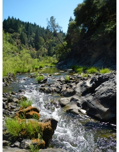
Watershed residents raised alarm about loss of flow in creeks and river reaches, and we have responded by measuring temperature as a surrogate for flow. Additionally, we began to observe stream reaches throughout the basin that were becoming disconnected, especially during the drought of 2013 to 2015. Our flow observations are included in all our water temperature reports (see Water Temperature).
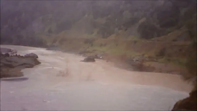
In 2015, we began to deploy timelapse cameras that help us record low flows and floods and make movies with photo sequences. An excellent work on flow trends in the Eel River is Long-Term Streamflow and Precipitation Trends in the Eel River Basin produced for Friends of Eel River
Timelapse videos of streamflows
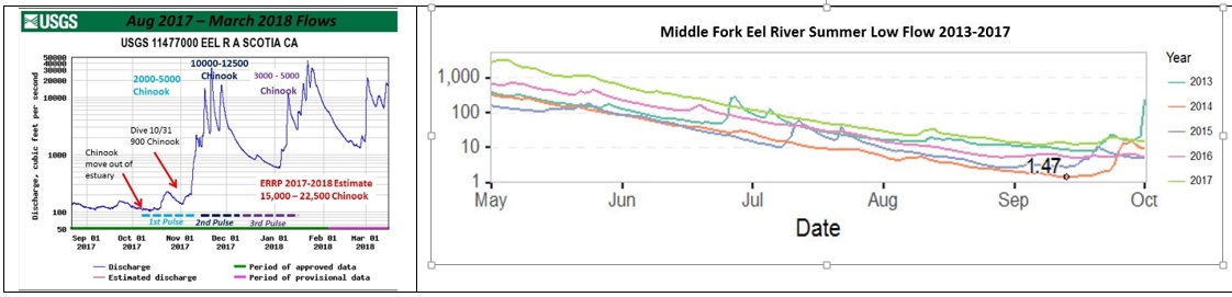
We correlate U.S.G.S. flow data at Scotia with Fall Chinook runs. We monitor low flow conditions and use USGS data for our analysis of cyanotoxin patterns . The USGS chart shows minimum Middle Fork Eel River flows from 2013-2017.
Links to Flow Gauges
There are currently eight “real-time” U.S. Geologic Survey Stream (USGS) gauges in the Eel River basin. Refresh at bottom of screen by clicking "latest" .
Main Eel at Scotia
Main Eel at Fort Seward
Middle Fork Eel at Dos Rios
Van Duzen River at Bridgeville
South Fork at Miranda
South Fork at Leggett
Bull Creek
Elder Creek
Main Eel at Scott Dam
There are currently eight “real-time” U.S. Geologic Survey Stream (USGS) gauges in the Eel River basin main Eel River at Scotia and Fort Seward, South Fork at Miranda and Leggett, the Van Duzen, the Middle Fork Eel, Elder Creek and Outlet Creek.
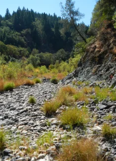
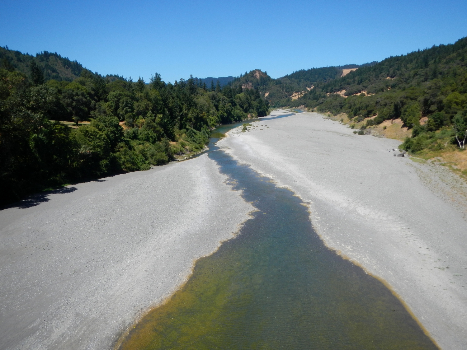
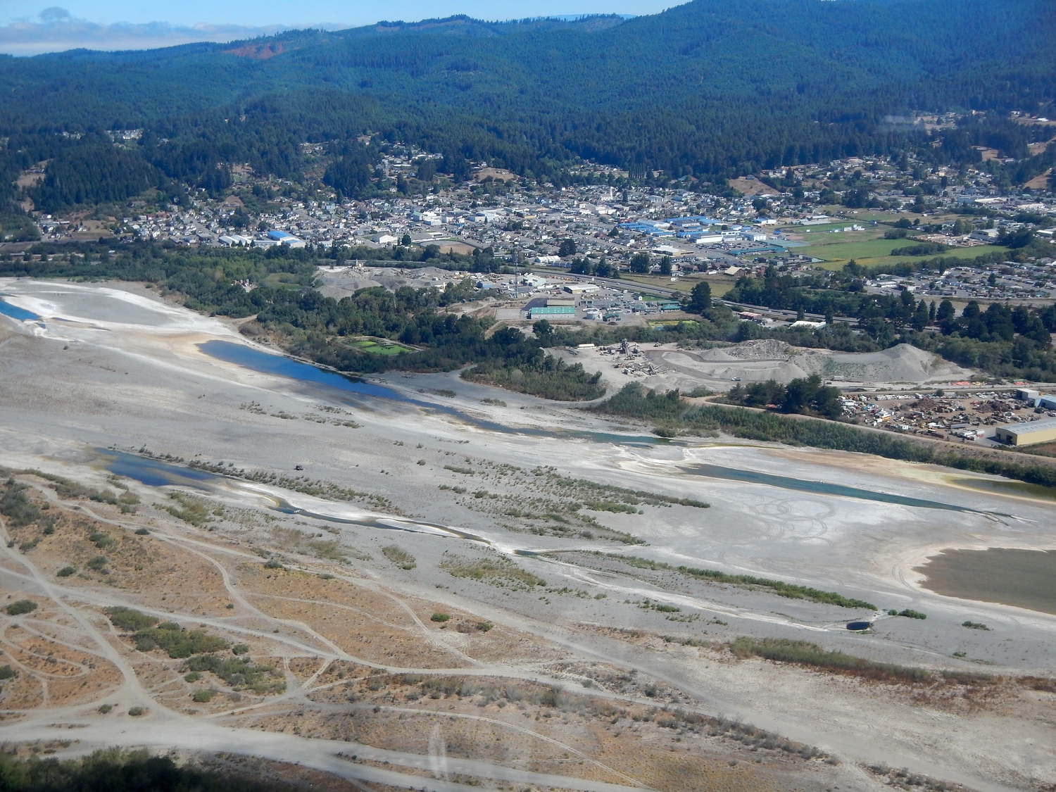
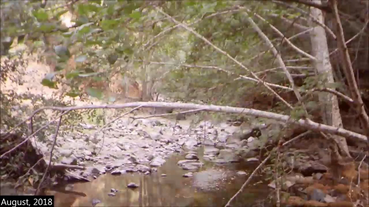
Dry stream reaches

When we began monitoring water temperature throughout the Eel River basin in 2012, many tributaries were running dry. Major tributaries Tenmile, Outlet and Tomki creeks in Mendocino County and Redwood Creek and Salmon Creek in southern Humboldt were losing surface flow in late summer, when they were formerly perennial. Many other tributaries lose surface flow because their stream beds are buried or aggraded, such as the lower Van Duzen River (see 2012 Report). More extensive stream reaches went dry in 2013 (see Report). Other problem areas for flow highlighted were Soda Creek in the upper Eel River watershed, Mill Creek and its tributaries in the Middle Fork and upper Rattlesnake Creek.
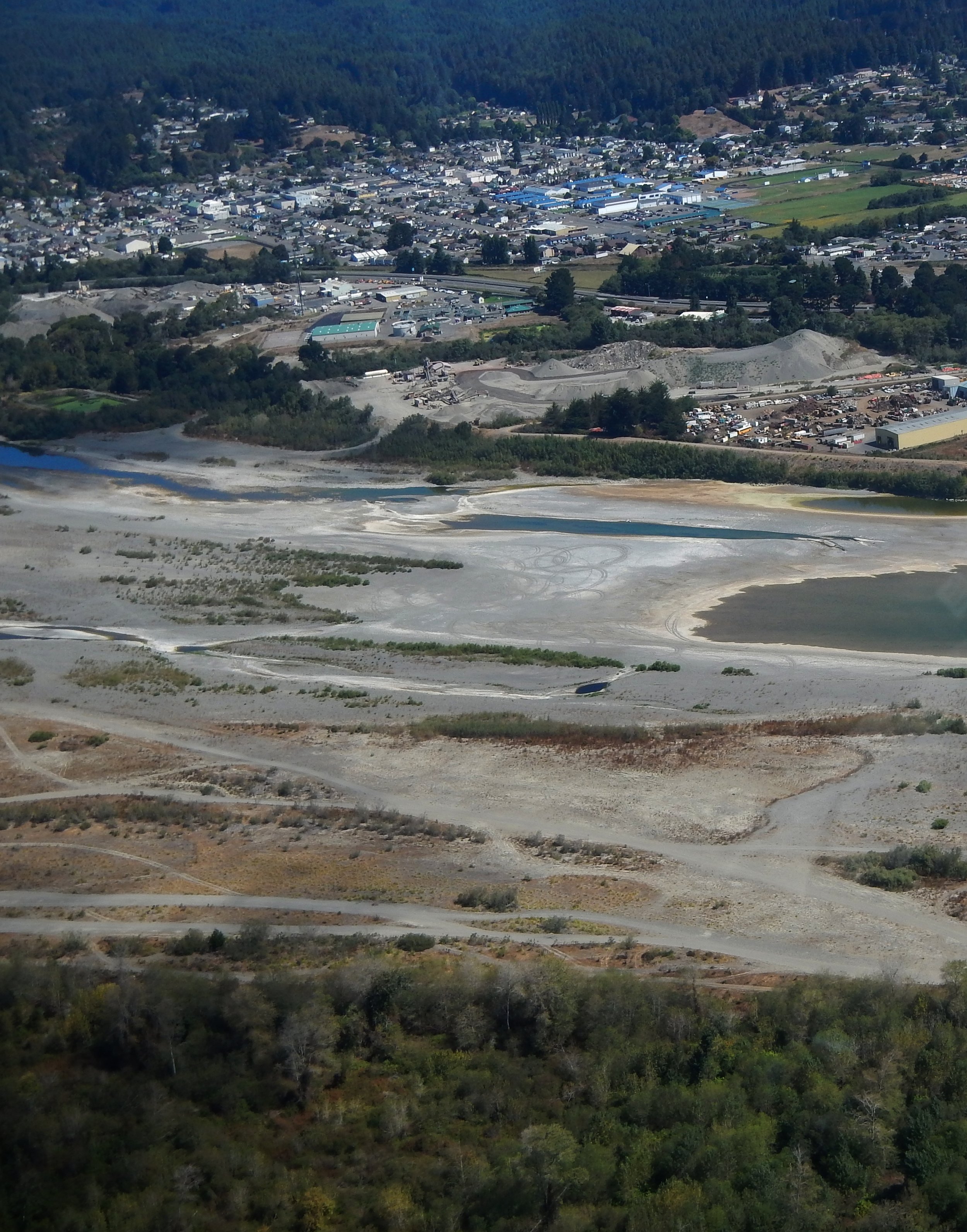
In late August 2014, we did an aerial reconnaissance and found the lower Eel River running dry below the 12th Street Pool in Fortuna. The Eel River Monitoring and Water Quality Awareness Pilot Project Final Report had an extensive section on 2015 flow conditions, including this map (click to enlarge it).